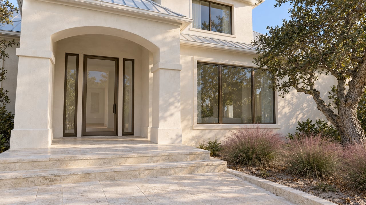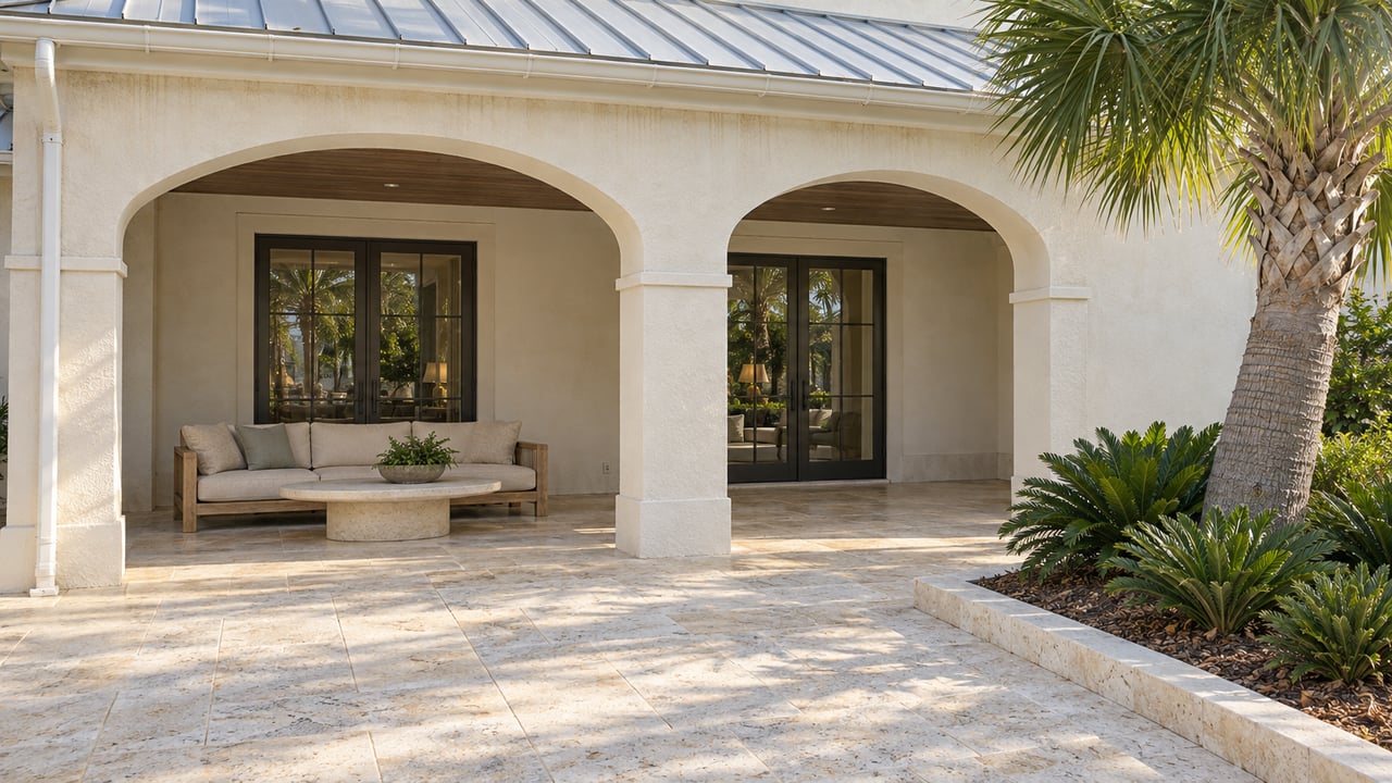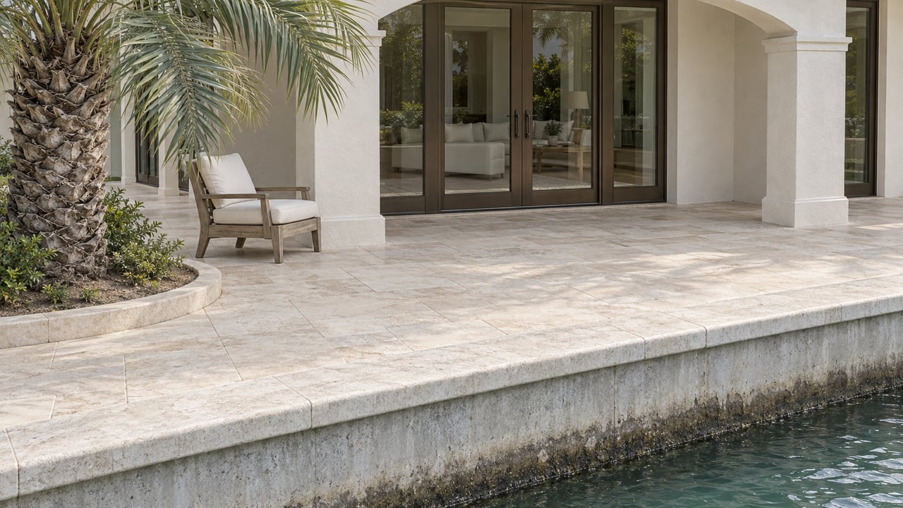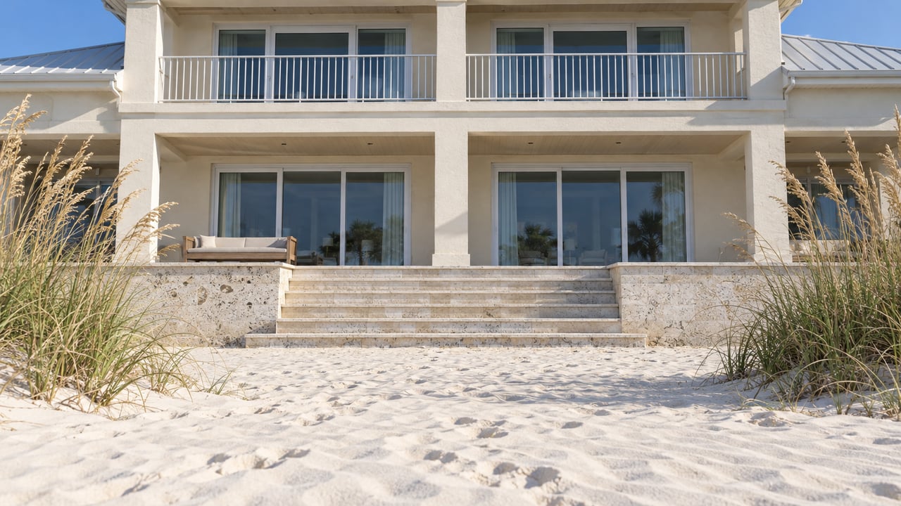
"A reasonable factfinder could conclude either that the conveyances extended to the Gulf or that they described fixed-depth parcels ending landward of the beach." Florida's First District Court of Appeal wrote that sentence on April 15, 2026, about seven beachfront lots in Dune Allen. The houses on those lots look straight at the water, and some families have owned them for decades. Even so, the court said the record could support either reading of whether the sand in front of them came with the deeds.
That is the real friction for a Dune Allen Gulf-front buyer this fall. The listing photo shows the view. Three separate records decide whether the beach goes with the house, and on parts of this shoreline none of those records gives a final answer yet.
Seven Deeds That Measure From the Highway
The story starts with a family tract. E.C. Allen acquired 143 acres in Walton County in 1925. His widow platted part of it as the Dune Allen Subdivision in 1949, and in 1956 she conveyed the unplatted remainder to a company called Dune Allen Beach, Inc. That company is still active. Its latest annual report was filed with the state on April 12, 2026.
Between 1964 and 1970, Dune Allen Beach, Inc. sold seven beachfront parcels. Each deed fixed the lot's southern edge by measuring 315 feet from a starting point at Highway 30A. None of them mentioned the Gulf of Mexico, the mean high-water line or any other water boundary, and later deeds in each chain of title repeated the same descriptions.
In 2023 the current owners sued to quiet title. They argued that those original sales carried their parcels to the Gulf and gave them littoral rights, the rights that come with land touching an ocean, sea or lake. A trial court agreed with them on summary judgment. The appeals court reversed that ruling. The company's surveying expert pointed to a gap on a 1966 survey between the lot's sharply drawn southern edge and the Gulf. He also noted physical monuments at the southern corners, an iron pipe at one and a conduit at the other, and took them to mean the lot ended before the water did. The owners relied on that same survey, a 1967 document and testimony that beachfront ownership was commonly understood to run to the waterline.
The court did not pick a side. In the Dune Allen Beach, Inc. opinion, it wrote, "We do not decide whether Appellees ultimately will be able to prove that their parcels extend to the Gulf," and sent the case back for further proceedings. The First DCA docket shows the mandate issued May 4, 2026. The case returned to Walton County circuit court under case numbers 2023-CA-000671 and 23000601CAAXMX.
The opinion also explains why wording matters for any Gulf-front deed. The trial court had relied on an earlier case holding that when a deed names a natural boundary and also gives a conflicting distance, the natural boundary wins. The appeals court said that rule did not fit here, because these deeds "describe the parcels by fixed metes and bounds and by distance" and never name the Gulf.
The County Weighed In Without Joining the Case
The ruling soon became a county matter. At an April 2026 meeting reported by WMBB, Commissioner Tony Anderson asked, "are we in favor of the Allen family or not?" Commissioner Danny Glidewell said, "We've got to pick a side." Sara Day, who created the Shoreline Defender app, told the board the disputed boundary "preserves a meaningful stretch of beachfront for shared use for the Dune Allen community." The board dropped the idea of filing an amicus brief and asked for a resolution instead.
On May 26, 2026, commissioners adopted Resolution 2026-27 by a 5-0 vote. It recognizes "Dune Allen, Inc. and its principals" for having "willingly and graciously shared use of the beach with non-owners and other beachfront owners alike." The resolution states the board's support for public beach use. It does not decide who owns any parcel's sand and takes no position on the deed case. It does, however, publicly recognize one party to that pending dispute for opening its beach to non-owners.
Customary Use Was Reset, Partly
The deed dispute is only one layer. The second is customary use, the county's long-running claim that the public has a recreational right to the dry sand.
Walton County adopted a customary-use ordinance in 2017. In 2018 the Legislature passed section 163.035, which required the county to go to court parcel by parcel, and the county filed that suit in December 2018. In February 2024 a circuit court entered a final judgment recognizing limited public customary use on the remaining parcels. Then the Legislature reversed course. SB 1622, signed June 24, 2025, repealed section 163.035. The Senate's bill summary says local governments can again adopt customary-use ordinances without the repealed court procedure, and owners can challenge those ordinances in court.
On February 18, 2026, in T. Michael Glenn Trust v. Walton County, the First DCA said the 2024 final judgment "has no more legal effect." According to the opinion, the county called the result a return to "square one," could not say whether its 2017 ordinance had been revived, and said it believed home rule let it adopt a new one. The owners argued the recorded judgment clouded their title. The court called that harm "abstract, hypothetical" and dismissed the petition.
Twelve weeks later the county gave a narrower account. At the May 12, 2026 commission meeting, County Attorney Clay Adkinson said summary judgments had been entered on more than 90 parcels. He said only three owners' judgments were vacated and that "the remaining summary judgments are still valid and have been advertised on the TDC beach map." The appellate opinion and the county attorney's statement point in different directions, and no later court ruling has reconciled them. For a buyer, a parcel's history in the customary-use case is still a live question for the title work.
What the Sand Looks Like Right Now
The third layer is what happens on the beach. The Visit South Walton beach access map was last updated September 21, 2026. It sorts beaches into Full Public Use, Limited Public Use and Private, and it says plainly that "this data is not a legal representation of the features depicted." The Limited Public Use category comes from the 2023 settlement and follows these rules:
- The public can use a transitory zone extending 20 feet landward of the wet/dry sand line for walking, running and getting into the water.
- Sunbathing with chairs or towels is allowed from 9 a.m. to 4 p.m.
- Beachgoers are capped at the equivalent of one person per five feet of private frontage.
- Owners, their guests and their renters have full use of the beach and may relocate people who are not following the rules.
The same tourism FAQ says anyone may walk the wet sand along all 26 miles of Walton County beach. In late August 2026, NPR photographed "No Trespassing," "Private Beach" and "Owners & Guests Only" signs at Dune Allen Beach. In the same report, Sheriff Michael Adkinson said that when deputies arrive, "we don't know what the legal boundaries of the property are," and that he could not recall a beach trespassing arrest in a decade. The Sheriff's Office Gulf-front trespass procedure took effect October 1, 2023.
This affects how a Gulf-front house works as a rental. If guests are booking a private beach, what they find on the sand depends on the deed, the parcel's history in the customary-use case and the map category, all three together.
What to Pull Before an Offer on Dune Allen Gulf Frontage
Each item below is a document or a question to bring to your title company, surveyor or attorney. Interpreting them is their job.
- The full legal description from every deed in the chain. Ask your title professional whether the southern line calls to the Gulf or the mean high-water line, or stops at a measured distance from 30A.
- A current boundary survey. Ask the surveyor to show where the described lot line sits relative to the water today.
- The title commitment. Ask whether it lists any recorded customary-use judgment or settlement, and whether the parcel was among those in the county's 2018 suit.
- The parcel's category on the Visit South Walton map, kept in mind with the map's own disclaimer.
- For rental buyers, the access rules guests will actually encounter. Compare them with how the beach is described in current rental listings.
This post is general information, not legal, tax or financial advice. A title attorney or title company should confirm what any specific deed conveys.
Quick Answers on Dune Allen Beach Ownership
Does the April 2026 ruling apply to every Dune Allen lot? The opinion covers seven parcels Dune Allen Beach, Inc. sold between 1964 and 1970. Its explanation of how courts read distance-based deeds differently from deeds that name the Gulf is public, and it is worth reading before any closing on this stretch.
Where can the public reach the beach in Dune Allen? Visit South Walton lists the Dune Allen and Fort Panic Regional Beach Accesses, along with neighborhood accesses at Stallworth Preserve, Beach Highlands, Bullard, West Allen Loop, Lake Causeway, and Palms of Dune Allen West and East.
Could the county pass a new customary-use ordinance? The county told the First DCA it believes home rule allows one. The concrete action it took in 2026 was Resolution 2026-27, which supports public beach use. It is not an ordinance.
Gulf-front pricing in Dune Allen assumes the beach comes with the house, and on this stretch that has to be confirmed parcel by parcel. If you're weighing a Dune Allen Gulf-front home, The Justin Myers Team can help you get the deed, survey and title commitment in hand early, so the financing and the offer price rest on what the lot actually includes.